 |
| Published by Royal Irish Academy |
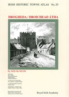
In preparing the Drogheda Atlas, he has trawled hundreds of sources to generate histories of thousands of topographic sites in the town. The publication (ISBN: 9781908997746; €35) will be available in large format with many historical and modern maps and illustrations in loose sheets to accompany the detailed text section.
A launch event will take place on Saturday 18 May at 3pm at the Highlanes Gallery in Drogheda, where the author will present a talk about the work. Sponsored by Louth County Council, the event is free to attend but you need to book a place via Eventbrite.
The IHTA series, a project of the Royal Irish Academy, was established in 1981. It's aim is to record the topographical development of a selection of Irish towns both large and small, and each town is published individually and includes a number of maps and detailed text. It is part of a wider European scheme, with towns atlases containing broadly similar information available for a number of countries. This allows Irish towns to be studied in their European context. You can find out more about the IHTA here.
Forthcoming titles for the series are Ballyshannon, Cahir, Carlow, Cashel, Cavan, Clonmel, Cork, Dungarvan, Loughrea, Naas, Newry, Roscommon, Tralee, Tullamore, Waterford and Westport.
