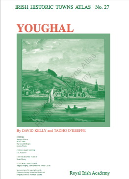
 Written by David Kelly and Tadhg O'Keefe, the Youghal IHTA was originally published in 2015. It traces the growth and development of the town from its origins as an Anglo-Norman borough and seaport, to market town and then to seaside resort. Old maps and plans help trace the story of Youghal visually while an accompanying text includes an explanatory essay and historical gazetteer with over 1,500 entries on features of the townscape such as streets, schools, town walls, tanneries etc.
 The free online version is available in a series of pdfs giving you the cover, general abbreviations, the 9-page essay, topographical information, a select bibliography, maps 1,2 and 3, a growth map (map 21 in the original) and the legend sheet to map 2. Click the cover image, right, to view the download page.
(Due to copyright restrictions certain historical maps and images that are available in the printed atlases are not included in the digital edition.)
 |
| Youghal map, 1841 |
