
 |
| Free download |
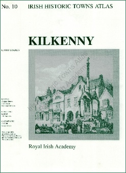
A digital edition of the Irish Historic Town Atlas – Kilkenny has been published by the Royal Irish Academy (RIA) and is available for download free of charge.
It includes the full text (essay, topographical information, bibliography, notes) of the Irish Historic Towns Atlas (IHTA) no. 10, Kilkenny, by John Bradley, which was published by RIA in hardback in 2000 (€25), as well as select maps. For copyright reasons, some of the historical maps published in the printed book are not included in this digital edition.
The Irish Historic Towns Atlas is part of a wider European project that explores historical towns according to a fairly rigid formula of detailed enquiry and presentation. The resulting publications examine the topographical development of each town during key periods in their history.
Clues to the town's past religious life, defence and security, local and national government, industry, trade, transport, education and leisure habits are explored within the accompanying maps. Dense and accurate, these atlases reveal fascinating details about the societies our ancestors lived in.
If your family history has revealed connections to Kilkenny, be sure to download this digital edition. It may not be freely available in the longer term.
The pdf of the main text of the Kilkenny atlas is 17.8Mb. The maps range from 1.4Mb to 11Mb.