
 |
| The first of the new series, Clontarf, by Colm Lennon, will be published this month. |
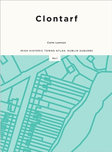
In the 152-page Clontarf atlas, which will be launched this evening, there are numerous historic and modern maps, illustrations and photographs as well as an accompanying essay and individual histories of topographic sites in Clontarf from earliest times up to c1970.
Clontarf has, of course, long been associated with the famous battle between the High King of Ireland, Brian Boru and the King of Leinster, Máel Móra mac Murchada in 1014. It had a considerable history before that battle due to its proximity to Dublin City, and in more recent centuries, developed into a prosperous suburb with grand villas and wide streets.
You can find out more about the Clontarf atlas, view a video from the author, and order a copy of the book (€30 / £28 / $40) at www.ria.ie. The publication will also be on sale in local bookshops.
ISBN: 978-1-908997-72-2